Geofence Radius Calculator
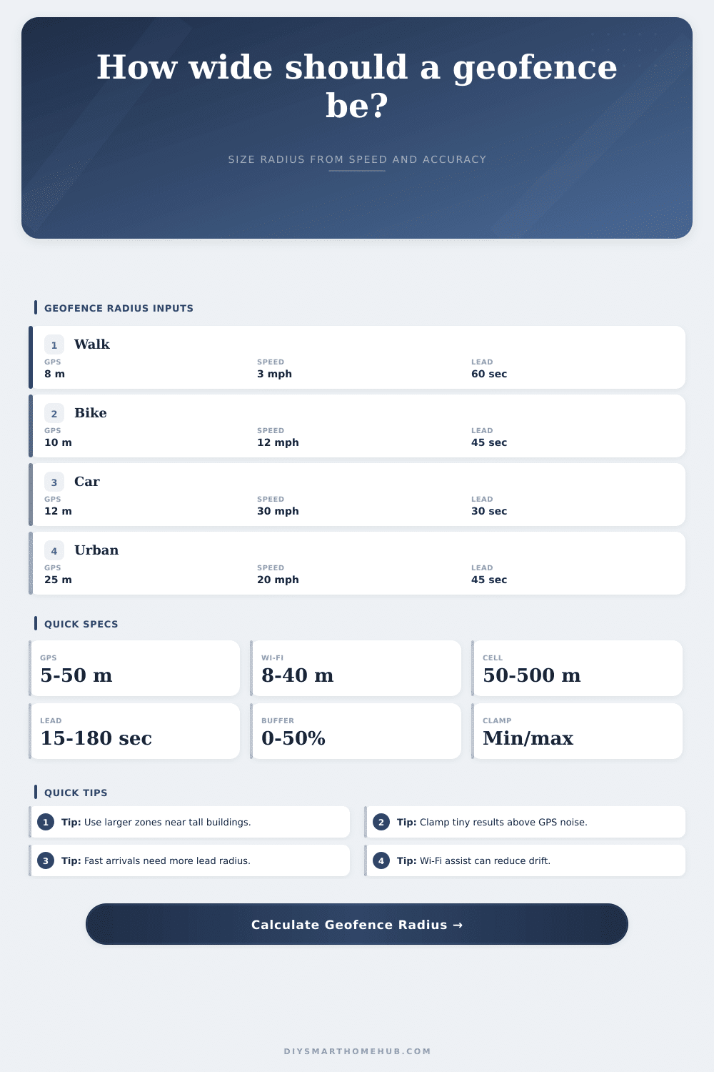
Estimate a smart home geofence radius from travel speed, desired lead time, GPS accuracy, Wi-Fi and cell assist accuracy, urban canyon factor, false-trigger buffer, and minimum or maximum clamp limits.
📍Geofence presetsChoose a realistic arrival pattern, then fine tune the inputs.
⚙Calculator inputsSpeed, lead time, accuracy, assist signals, buffer, and radius clamps.
📊Live signal summaryCurrent inputs converted into comparable geofence specs.
Recommended geofence
🔍Comparison gridSame inputs compared against nearby trigger strategies.
📋Reference tablesPlanning ranges for smart home geofencing.
| Signal | Good | Typical | Weak |
|---|---|---|---|
| GPS accuracy | 5-10 m | 10-25 m | 25-50 m |
| Wi-Fi assist | 8-15 m | 15-40 m | 40-100 m |
| Cell assist | 50-100 m | 100-300 m | 300-800 m |
| Indoor edge | 15-30 m | 30-80 m | 80-200 m |
| Urban canyon | 20-40 m | 40-100 m | 100 m+ |
| Approach | Speed | 30 sec | 60 sec |
|---|---|---|---|
| Walking | 3 mph | 40 m | 80 m |
| Jogging | 6 mph | 80 m | 161 m |
| Biking | 12 mph | 161 m | 322 m |
| City car | 25 mph | 335 m | 671 m |
| Fast road | 45 mph | 604 m | 1207 m |
| Environment | Factor | Best for | Risk |
|---|---|---|---|
| Open sky | 1.00x | Suburb | Low drift |
| Mixed | 1.25x | Town homes | Moderate |
| Urban | 1.70x | High rises | Multipath |
| Indoor edge | 1.45x | Apartments | Late fixes |
| Rural | 1.35x | Long roads | Cell gaps |
| Use case | Lead | Min clamp | Max clamp |
|---|---|---|---|
| Unlock prep | 15-30 sec | 75 m | 300 m |
| Porch light | 30-60 sec | 100 m | 800 m |
| HVAC arrival | 120-300 sec | 300 m | 3000 m |
| Garage door | 20-45 sec | 100 m | 700 m |
| Quiet mode | 60-120 sec | 150 m | 1200 m |
💡Geofence sizing tips
This calculator estimates radius only. It does not connect to any geolocation service, smart home hub, map provider, phone API, or automation platform.
When you drive up into your driveway, your house’s smart lights don’t magically switch on. The house sit in darkness until it can verify you’re there. Typically, that’s because of geofence radius, not the automation rule itself. Everyone defaults to making that tiny little circle surrounding where they live. The result: it feels like system doesn’t work right away.
But phone GPS isn’t perfect. A phone’s location isn’t determined by satellites directly overhead. It get its position by bouncing signals off nearby buildings, which is imprecise and causes it to stutter and drift. If you know what speed you’ll be driving and the amount of time you want to give yourself, simply plug it into the calculator up top and let it do the math for you. No need to guess about when your phone should fire off the scene.
How to Set Your Geofence Size
Think about how far your safety net reaches. When traveling at 40 km/hr, that’s over eleven meters per second. That means even with a half minute delay before your phone can confirm where you are, you’re past your own front door by three hundred meters. It takes all that movement into account when calculating your accuracy. It is better to be prepared then to be accurate.
Accuracy depends heavily off the signal environment. Suburban open sky gets good GPS locks down to around ten meters. Multipath error caused by urban canyons and high-rise buildings pushes your perceived position hundreds of meters off course. These situation get a multiplier applied in the tool. Be truthful about where you use it. If you are a city dweller, assuming you will have a clear suburban signal will lead to a smaller-than-necessary zone.
When you’re standing right outside front door your phone thinks you’re still out on the highway. Adding a bit of room to this mixed bag of accuracy is the buffer percentage. This keeps lights from turning on-and-off based off you wobbling along the boundary line.
Geofencing requires clamp limits. Don’t let the zone shrink so small that a little bit of GPS jitter trips arrival. Likewise, don’t let it get so large that you’re still miles away when the house wakes up.
Different lead times require different radii, as illustrated in the reference table below. Pre-cooling your HVAC to arrive at home in two minutes is different than turning on a porch light with a half minute lead time. It’s a question of reliability vs. Responsiveness. Tighter zones feel snappier but fail more frequently. Wider zones are robust but may trip too soon.
It’s also about how fast you’re going: an approaching runner needs a much tighter zone than that car whizzing down the interstate. The app will let you specify how you got there. Walking home? You go slow, so you don’t move very far. Around buildings? Your GPS may not function as well around those big hunks of concrete. In a vehicle? Speed factors into it. You’d want to provide enough distance for it to respond.
That’s the tradeoff. You can’t get both perfect accuracy and instant response. One or the other has to break.
Missed triggers suck. False triggers are irritating. Who wants their garage door opening while they walk past? Nobody likes getting to their dark porch and realizing the phone thinks it’s not home yet. This is a risk trade-off, managed by the buffer setting. Higher = more conservative; it won’t trigger until you’re really there. Lower = eager; it might go off early but hardly ever misses.
Flip your coin based on your environment: big buffers in rural areas (sparse cell towers) and tight ones in urban areas (dense Wi-Fi networks). You’re going to test. That’s why there are numbers. In the real world, things change. Trees grow up. New buildings gets built. Weather comes and goes. Traffic changes routes. What was your range on Tuesday may not be what it is on Thursday because you had to take a detour due to traffic.
So the tool gets you started. It takes the guessing out of how to set it up. Now you go in and tweak it. But at least you start from an educated position of knowing what the physics of that location data are. You could of known more sooner.
Smart home automation is magical because it provides convenience. Aiding this magic are the unseen workings of location data. Once you know how to make your phone know where you are, you’ll be able to program zones accordingly.
The radius is more than just a circle on a map. It is a negotiation between your speed, your signal, and your patience. Radius is a constant trade-off between your patience, your signal and your speed. Get the size correct, and the house says hello while you’re still stepping from the car. Get it wrong, and you’re back in the dark again. It is all about giving the system enough room to breathe.